What is FloraTrace?
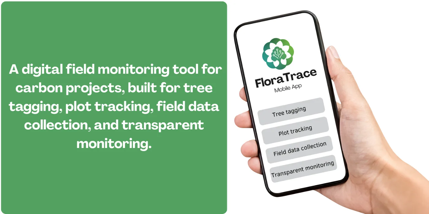
FloraTrace is Flora Carbon AI's mobile field app for carbon project monitoring: it handles QR-based tree tagging, GPS plot tracking, and structured field data capture so that every observation is anchored to a verifiable point on the ground. It is the field-facing layer of our digital MRV platform, the point where evidence enters the system. Everything downstream — reporting, verification, credit issuance — depends on what FloraTrace captures being accurate and traceable.
Why is field data collection so hard in carbon projects?
Collecting field data for carbon projects is a detail-heavy task performed in difficult conditions. Teams gather measurements across many plots, tag individual trees, and must record each observation with the right location and context — often without reliable connectivity. When that data is collected on paper or spread across multiple devices, three problems follow:
- Observations become detached from the plot they describe, so a verifier cannot confirm where a measurement was taken.
- Reconciling records across field teams consumes time that was budgeted for monitoring, not administration.
- Errors surface late — often during verification — when correcting them means returning to the field.
How does FloraTrace work?
FloraTrace anchors field observations to specific locations rather than to a form. Each tagged tree carries a QR identifier that ties every subsequent measurement to that individual stem, and every plot is linked to a defined geographic boundary. The workflow runs in four steps:
- Tag — a QR marker is attached to a tree and registered against its species, planting date, and plot.
- Locate — the plot boundary is captured by GPS, so measurements inherit a verifiable position in the landscape.
- Measure — repeat monitoring visits scan the same tag, building a time series for that specific tree rather than an anonymous sample.
- Sync — records upload into the project evidence base, where they can be cross-checked against FloraScope satellite monitoring of the same area.
Because the tag, the plot boundary, and the measurement are captured together, data is not only collected but is also straightforward to verify.
Why does tamper-resistant evidence matter?
Auditors and buyers need to know that the evidence they are reviewing is genuine. Tamper-resistant records help answer that question because they reduce the risk that data has been altered after capture or disconnected from the site it came from. In a carbon project this matters beyond compliance: a credit is only as credible as the monitoring record behind it, and that record is scrutinised again at every verification cycle over a crediting period that can run for decades.
How does this improve audit readiness?
When field data is collected in a structured, traceable way, project teams prepare for verification from a complete evidence base rather than assembling one retrospectively. That reduces time spent responding to auditor queries and keeps the project timeline moving. The benefit compounds with scale — on a project such as the 2,000+ farmer agroforestry programme in Timor-Leste, per-participant traceability is not a convenience but a precondition for verification.
FloraTrace is free to start, alongside FloraScope, FloraGPT, and the FloraCarbon Calculator. See how the tools are packaged for project teams.