What is blue carbon?
Blue carbon is carbon captured and stored by coastal and marine ecosystems, principally mangroves, tidal marshes and seagrass meadows. What distinguishes it from terrestrial forest carbon is where the carbon sits: a large proportion is held in waterlogged soils rather than in trunks and branches. Those soils are anaerobic, which slows decomposition and allows carbon to accumulate over long periods.
That storage profile is why blue carbon accounting cannot simply reuse forestry conventions, and why measuring only above-ground biomass misses much of what a blue carbon project protects or restores.
Why are blue carbon projects measured differently?
Blue carbon projects are measured differently because the dominant carbon pool is below ground and the landscape itself moves. A mangrove site is tidal: what is water and what is land depends on when the observation was taken. Terrestrial forestry methods assume a stable ground surface and concentrate on above-ground biomass, and neither assumption holds here.
- Soil carbon is the dominant pool, so above-ground biomass alone understates the project.
- Tidal cycles mean imagery must be interpreted with tide state in mind, not treated as a fixed surface.
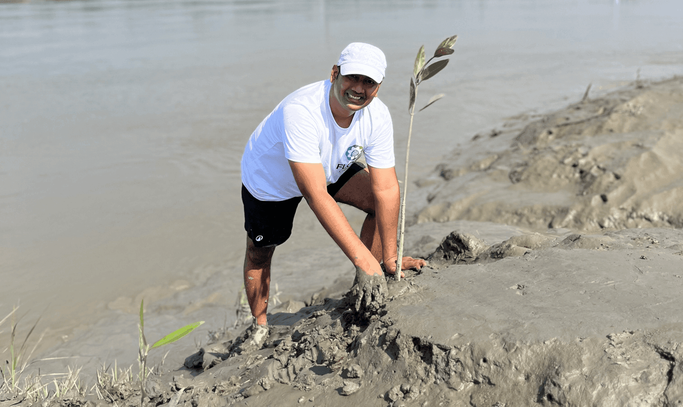
- Sites are often physically difficult and sometimes unsafe to survey on foot, limiting ground sampling density.
- Coastal change — erosion, accretion, storm damage — alters the project area itself over the crediting period.
Why is blue carbon MRV harder than forest carbon MRV?
Blue carbon MRV is harder than forest carbon MRV because almost every assumption a forestry method relies on breaks at the coast. A forest monitoring approach pointed at a mangrove does not simply lose accuracy; it measures the wrong pool, over a surface that will not hold still, using imagery that is frequently unusable. The differences compound rather than sitting side by side.
| Dimension | Terrestrial forest | Coastal blue carbon |
|---|---|---|
| Dominant carbon pool | Above-ground biomass | Soil, held below ground in waterlogged sediment |
| Ground surface | Stable between observations | Tidal — extent of land and water varies by hour |
| Optical imagery | Usable across most of the year | Frequently obscured; tropical coasts are cloudy year-round |
| Field sampling | Systematic plots practical on foot | Access limited by tide, channels and soft substrate |
| Project boundary | Broadly fixed for the crediting period | Reshaped by erosion, accretion and storm damage |
The cloud-cover constraint is the one most often underestimated. Vegetation indices derived from optical satellite imagery assume a usable view of the ground, and on a tropical coast that view is missing for much of the year — which is why radar observation, unaffected by cloud, is widely used in coastal monitoring work alongside optical sources.
How is mangrove restoration monitored?
Mangrove restoration monitoring leans harder on satellite observation than terrestrial forestry does, because ground access is limited and the landscape changes shape. Land-use and land-cover mapping over time is the primary way to establish whether restoration is progressing across an area that cannot be walked systematically. Ground data remains necessary for species and survival, but it samples rather than covers.
In the Sundarbans, FloraScope handles the land screening and land-use and land-cover mapping for exactly this reason — the tidal landscape makes systematic foot survey impractical across the full project area. More detail is in our field report.
What does Flora Carbon AI do in the Sundarbans?
Flora Carbon AI supports mangrove reforestation monitoring in the Sundarbans, the mangrove delta spanning West Bengal and Bangladesh. Our contribution is the spatial evidence layer: land screening, land-use and land-cover mapping, and tracking how the landscape changes over time so restoration progress can be connected to carbon project eligibility. The Sundarbans is also one of the clearest illustrations of why blue carbon needs its own monitoring approach rather than an adapted forestry one.
For how this fits our wider India work, see digital MRV for Indian carbon projects.
Which standards cover blue carbon?
Blue carbon projects are developed under frameworks including Verra (VCS) and ICR, with methodologies specific to coastal wetland restoration and conservation. Flora Carbon AI aligns its work with both, alongside Gold Standard, Plan Vivo and CDM for terrestrial project types. Where a coastal project also involves planting on land that qualifies as ARR, VM0047 may be relevant to part of the project area.