Where does Flora Carbon AI work?
Flora Carbon AI supports nature-based carbon projects across three continents, spanning agroforestry, mangrove restoration, and forest restoration landscapes. We work in multiple geographies deliberately: the challenges of implementation and monitoring change with context, and a monitoring approach that only works in one setting is not a monitoring approach worth building.
| Geography | Project type | Scale |
|---|---|---|
| West Bengal, India | Agroforestry | Around 100 farmers |
| Sundarbans, India | Mangrove reforestation monitoring | Land screening and LULC mapping |
| Timor-Leste | Smallholder agroforestry | More than 2,000 farmers |
| Peru, Bolivia, Colombia | Amazon forest restoration | Contributing partner |
| Uganda, Kenya | East Africa expansion | Early-stage |
Full detail on each of these is on the projects page.
What does agroforestry carbon look like in India?
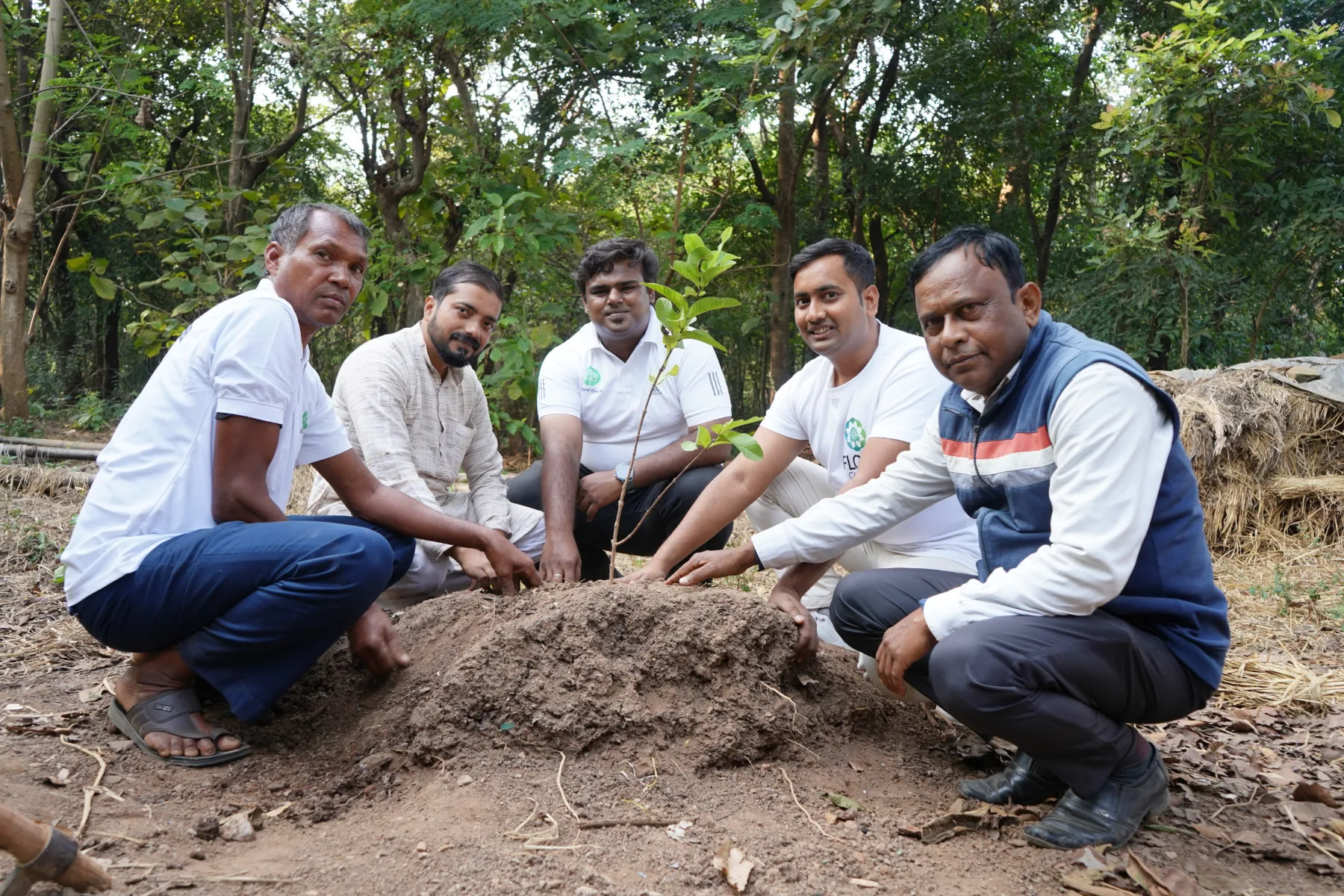
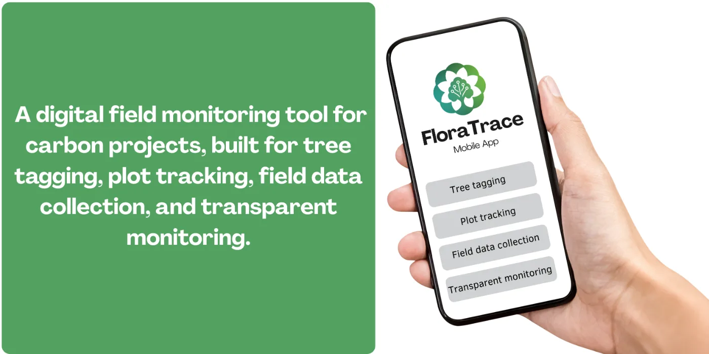
In India we are supporting an agroforestry carbon project with around 100 farmers, helping them integrate trees into working farmland in a way that supports both carbon sequestration and livelihoods. At this participant count the hard part is not the science but the bookkeeping: every farmer, plot, and planting event has to be captured consistently enough to survive an audit years later. The work covers field monitoring, structured data capture through FloraTrace, and project design with clear carbon accounting from the outset.
Why is mangrove restoration in the Sundarbans different?
The Sundarbans initiative centres on mangrove reforestation monitoring, where FloraScope handles land screening and land-use and land-cover mapping. Mangrove ecosystems are tidal, dynamic, and often physically difficult to survey on foot, which makes satellite-based change detection far more than a convenience — in many stretches it is the only practical way to see how the landscape is moving over time. Tracking that change is what connects restoration progress to carbon project eligibility.
How do you scale to 2,000+ farmers in Timor-Leste?
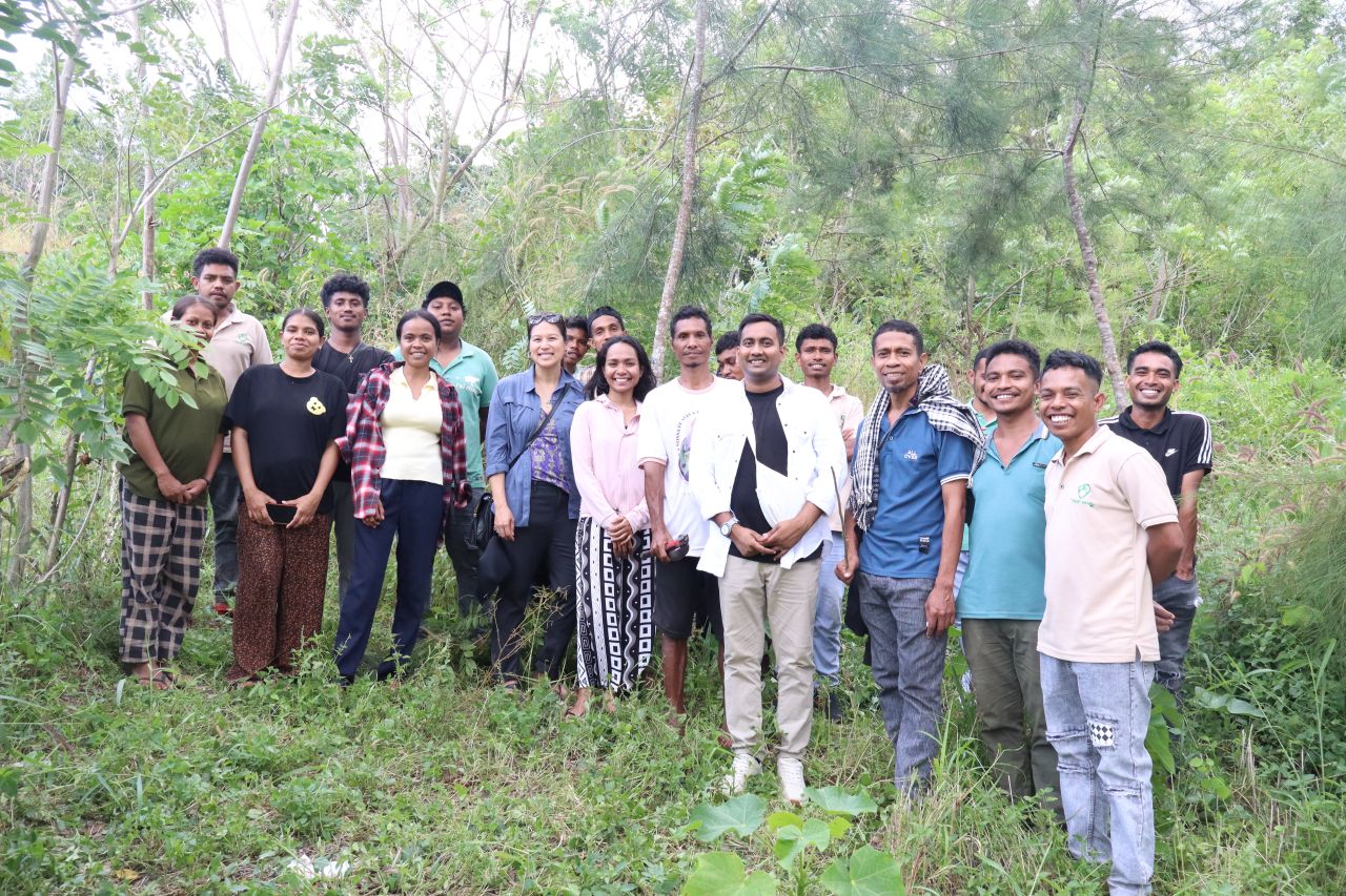
In Timor-Leste we support a smallholder agroforestry carbon project involving more than 2,000 farmers — roughly twenty times the participant count of the India project. That scale changes the problem qualitatively, not just quantitatively, because each participating farmer and plot must enter the evidence system in a form a verifier can trace individually. Manual reconciliation does not survive that many participants, which is precisely the MRV gap digital tooling exists to close.
The project demonstrates how carbon finance can reach rural communities when the implementation model is designed for transparency at scale from the beginning rather than retrofitted once the participant list grows.