
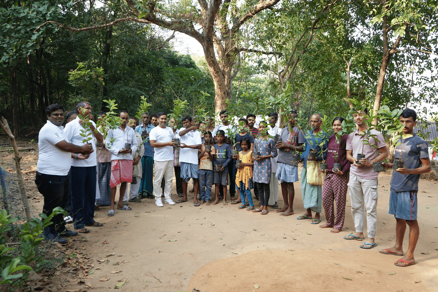
What is an agroforestry carbon project?
An agroforestry carbon project integrates trees into land that stays in agricultural use, generating carbon removals without taking the land out of production. That distinguishes it from afforestation on non-agricultural land: the farmer continues farming, and the trees are additional to that activity rather than a replacement for it. Because individual farms are small, these projects almost always aggregate many participants into one registered project.
The dual land use is what makes agroforestry attractive to farmers and demanding to monitor. Outcomes are dispersed across many small plots under many different owners, all of which must be individually evidenced.
Why is agroforestry harder to monitor than plantation forestry?
Agroforestry is harder to monitor because the carbon is distributed rather than concentrated. A plantation is a contiguous block with one owner and uniform planting; an agroforestry project is hundreds or thousands of scattered plots with varying species, densities and planting dates, under separate ownership. Every one of those differences is something a verifier can ask about.
- Plot boundaries are small and irregular, so spatial evidence has to be precise rather than approximate.
- Species and densities vary per participant, so a single growth model does not describe the project.
- Trees on farmland are interspersed with crops, which complicates canopy-based remote analysis.
- Participation changes over a crediting period measured in decades, and the record has to survive that.
This is why per-tree identity matters here more than in plantation forestry. FloraTrace tags individual trees with QR identifiers so repeat monitoring builds a time series for a specific stem rather than an anonymous sample.
How do smallholder agroforestry projects reach scale?
Smallholder agroforestry projects reach scale through aggregation, because the fixed costs of development, validation and verification cannot be borne by any individual farm. A developer, cooperative or FPO groups participants into one project. The consequence is that participant count becomes the dominant operational variable — and it does not scale linearly.
| Project | Participants | What dominates |
|---|---|---|
| West Bengal, India | Around 100 farmers | Plot mapping and eligibility per parcel |
| Timor-Leste | More than 2,000 farmers | Per-participant traceability and reconciliation |
At two thousand participants, traceability stops being an administrative convenience and becomes a precondition for verification. The full comparison is in our field report.
What evidence does an agroforestry project need?
An agroforestry project needs evidence that ties each claimed removal to a specific location, a specific participant, and a specific point in time. That is the same requirement any carbon project faces, but the participant dimension makes it substantially harder to satisfy retrospectively.
- Plot boundaries captured by GPS, not sketched or estimated.
- Tree identity, species and planting date recorded at the point of planting.
- Survival and growth measured on the methodology's monitoring cycle.
- Participant records that reconcile into a project-level total a verifier can trace back down.
Which standards cover agroforestry?
Agroforestry projects are developed under Gold Standard, Verra (VCS) — including VM0047 for ARR activities — and Plan Vivo, which is specifically oriented toward smallholder and community forestry. The choice depends on activity, geography and intended buyer. In India specifically, see digital MRV for Indian carbon projects.