
What does Flora Carbon AI's dMRV software do?
Flora Carbon AI's dMRV software is a set of five modules for developers of nature-based carbon projects. Each module owns one stage of the project, and each hands a structured record to the next, so the field data captured on day one is the same data the monitoring report cites years later. If you want the background on the category first, start with what is digital MRV; this page is about the software itself.
- FloraTrace (collect) — a field app for project teams. Map plot boundaries, run the baseline survey, and QR-tag every tree with its species, location, DBH, height, health and a photograph. Records sync to the Flora portal, and plots export as KML.
- FloraScope (assess) — satellite pre-feasibility for any boundary: land-use history, forest loss, terrain and climate, scored against carbon standard eligibility before anyone visits the site.
- FloraCarbon (quantify) — species-level sequestration over a thirty-year horizon, using growth models for more than seventy-five species across six countries, calibrated on eight registered projects. Baseline, leakage and buffer are deducted to give net credits by year.
- Carbon Intel (document) — reads the project evidence, flags compliance gaps against the chosen methodology, and drafts the Project Design Document, monitoring reports and audit responses, with a citation behind each claim.
- Carbon Compass (navigate) — the registry corpus, parsed: more than fifty methodologies across eleven registries, each linked to the documents, templates and evidence it requires.
Above the modules sits expert review. Software automates the analysis, but it cannot anticipate how a validator will challenge a project, so an expert reviews the output at feasibility, at documentation and at monitoring before anything reaches certification. The full module detail is on the products page.
How does the evidence move from the field to the registry?
The point of dMRV software is that monitoring, reporting and verification draw on one evidence base rather than three reconstructions of it. In Flora's system, each stage takes a defined input and leaves a defined output that the next stage reads directly.
| Stage | Module | Takes in | Hands on |
|---|---|---|---|
| Collect | FloraTrace | Plots, farms and saplings | Plot boundaries (KML), baseline data and per-tree records, synced to the portal |
| Assess | FloraScope | A boundary (KML) and baseline data | Land-use and forest-loss history, and an eligibility score |
| Quantify | FloraCarbon | Species mix, planting density and horizon | Net tCO₂e by year, with the growth model behind every figure |
| Document | Carbon Intel | Project evidence and the methodology | A drafted PDD or monitoring report, gaps flagged, and a citation under every claim |
| Navigate | Carbon Compass | Project type and geography | The applicable methodology and the full document set it requires |
The handoffs are real links between the tools today: a FloraTrace plot opens in FloraScope, FloraTrace measurements open in FloraCarbon, and FloraScope feeds the FloraCarbon estimate. That is what lets a tree tag scanned on the ground and a change signal in the imagery describe the same parcel — which is exactly what an auditor is trying to establish.
Spreadsheets, a custom build, or dMRV software?
Most project teams already run MRV somehow. The realistic alternatives to buying dMRV software are field forms and spreadsheets, or building an in-house system. Each can work; they fail in different places, and the table sets out where.
| Spreadsheets and field forms | Custom in-house build | Flora Carbon AI | |
|---|---|---|---|
| Field capture | Paper or spreadsheet entries, transcribed later | Whatever the team builds and maintains | FloraTrace: per-tree records with GPS position, measurements and a photograph |
| Land eligibility | A GIS consultant engaged per site | Needs remote-sensing expertise in-house | FloraScope screens any boundary before a site visit |
| Methodology requirements | Read and tracked by hand | Encoded by the team, and re-encoded when rules change | Carbon Compass links each methodology to the documents and evidence it requires |
| Credit forecast | A one-off model in a workbook | Built and validated by the team | FloraCarbon: species-level growth models, net of baseline, leakage and buffer |
| Documentation | Assembled retrospectively for each cycle | Usually still manual | Carbon Intel drafts the PDD and monitoring reports with citations |
| Who maintains it | Whoever owns the workbook | Your engineering team, indefinitely | Flora Carbon AI, with expert review above the modules |
| Cost to start | Low, rising with every participant and cycle | High up front, then ongoing upkeep | Free to start; a full project is priced per project per year |
Spreadsheets are a reasonable answer for a single plantation with one landowner. They break down where participant count, plot fragmentation or re-monitoring frequency make manual reconciliation expensive — a smallholder aggregation project is the clearest case. A custom build makes sense mainly for an organisation that wants to own the engineering long term. For the questions worth asking any vendor, including us, see how to choose a dMRV platform.
Which project types is the software built for?
The species models, the field layer and the methodology corpus are tuned to removals and avoided loss on land. The software is built for four families of nature-based project:
- Agroforestry — smallholder and grouped projects, where per-tree evidence is what keeps monitoring cheap enough to work. See agroforestry carbon projects.
- Afforestation and reforestation — large-scale ARR, urban afforestation and Miyawaki plantations, quantified at species level. See the VM0047 methodology guide.
- Mangrove and blue carbon — coastal restoration with the tidal, soil and biomass evidence blue carbon methodologies demand. See blue carbon projects.
- REDD+ and improved forest management — avoided loss and improved management, screened against the forest-loss record from the first pass. See forest carbon monitoring.
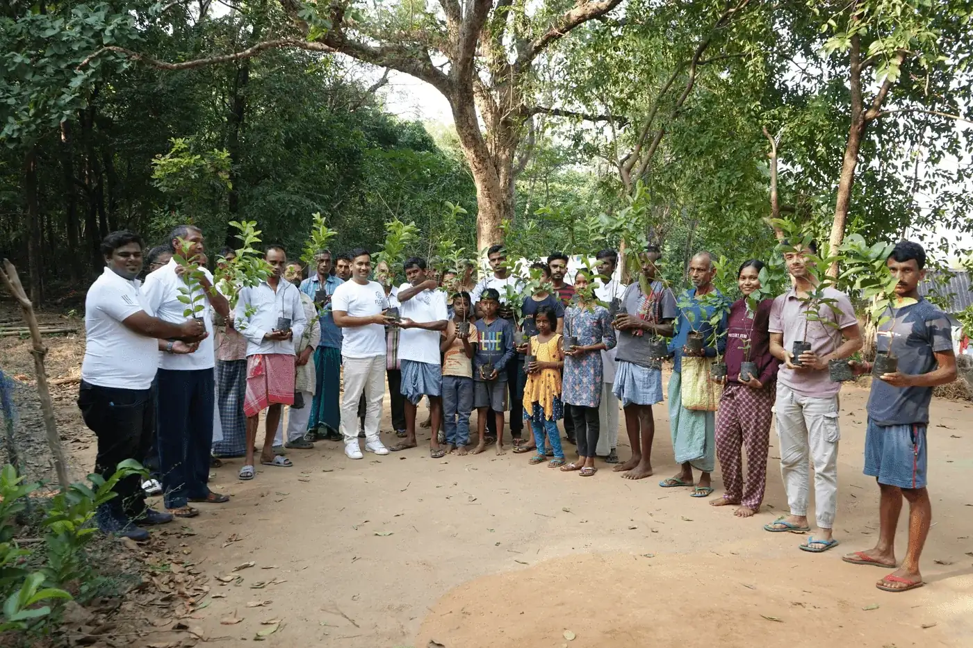
In practice, our own work spans both ends of the participant range: around 100 farmers in West Bengal and more than 2,000 in Timor-Leste. In the Sundarbans mangrove work, FloraScope's role is land screening and land-use and land-cover mapping. The projects page shows where the system is running, and digital MRV in India covers why smallholder aggregation makes it necessary there.
Which carbon standards does it work with?
dMRV software changes how evidence is captured and presented, not what a methodology asks a project to prove, so it has to follow the registry rather than the other way round. Flora Carbon AI aligns its work with the major registry frameworks:
- Gold Standard — agroforestry, afforestation and reforestation. See Gold Standard explained.
- Verra (VCS) — ARR, REDD+ and improved forest management, including VM0047. See Verra and the VCS.
- Plan Vivo — smallholder and community forestry.
- CDM — afforestation and reforestation.
- ICR — blue carbon and mangrove restoration.
Carbon Compass goes wider than the standards we work under day to day: it parses more than fifty methodologies across eleven registries, so a team can check what applies before choosing a route. Projects in India also have a domestic option in the Carbon Credit Trading Scheme, whose offset mechanism is open to eligible projects developed by non-obligated entities.
How does onboarding work?
There is no procurement cycle before you can see the software working. A typical start looks like this:
- Screen a boundary yourself. FloraScope, Carbon Compass, FloraCarbon and Carbon Intel are free to start, so you can run your own land through screening before talking to anyone.
- Book a demo on your project. It takes around forty minutes and runs on a boundary you care about rather than a canned sample: the modules on your land, where the expert layer fits, and a scoped figure for what it would cost.
- Get field access to FloraTrace. The field app is set up with your team, so plots and trees are captured into the same project record from the first survey.
- Choose the lines you need. The platform is priced per project per year; expert review is priced per engagement and taken where a project needs it; co-development, where we build the project with you and a share of carbon revenue can replace fees, is offered selectively.
The pricing page explains the three lines in full and takes a project brief, so a real quote can follow.
What is not live yet?
We would rather say plainly what the software does not do today than let a buyer find out at verification. These are announced, and not live:
- Monitoring after planting in FloraScope — canopy and vegetation tracked remotely and checked against tree records verified in the field.
- Tamper-evident field records — FloraTrace records fingerprinted and anchored on a public blockchain, so any later change to a record can be detected.
- Revenue estimates in FloraCarbon — estimated project revenue alongside the credit forecast.
We have also not published a validated measurement-accuracy figure. If what you need is a pure remote-sensing measurement layer, a tool built for that layer will serve you better than we will; if you are building and running the project and need the evidence to hold up at verification, that is the problem this software is built for.