Where do forest carbon projects actually go wrong?
When people think about a forest carbon project, they often picture trees being planted. For a developer, though, planting is only one part of a much larger process, and in many cases the biggest challenges appear before the first tree goes in the ground. Poor land assessment, unclear project boundaries, unsuitable species, weak baseline assumptions or incomplete documentation can all create problems much later in the project lifecycle. These are the eight most common.
1. Why is starting with planting instead of project design a mistake?
A common mistake is to begin with the question "How many trees can we plant?" The better question is "What project can be scientifically and financially developed on this land?" Before planting, developers need to understand the land, its history, ecological conditions, ownership, existing vegetation and the applicable carbon methodology.
Good project design starts before implementation.
2. What goes wrong with an incomplete land assessment?
A project may look suitable on a map but face significant challenges after detailed assessment. Land-use history, existing vegetation, wetlands, soil conditions, land tenure and surrounding activities can all influence feasibility. This is why satellite-based screening should ideally be combined with field verification and supporting documentation.
3. Why is choosing species only for carbon a risk?
Fast-growing species may look attractive because they can accumulate biomass quickly, but carbon projects have a long project life. Species should also be evaluated against:
- Local climate
- Soil conditions
- Water availability
- Survival rates
- Biodiversity
- Management requirements
- Local livelihoods
- Long-term suitability
The highest theoretical sequestration rate does not always translate into the best real-world project.
4. What makes a carbon estimate too optimistic?
Carbon calculations depend on assumptions about growth, survival, biomass, land-use change and other project parameters. If those assumptions are unrealistic, the expected carbon benefit can be overstated. A strong project uses scientifically defensible assumptions and clearly documents how the estimates were developed.
5. Why does documentation need to start on day one?
Carbon projects involve significant documentation: project descriptions, land information, baseline assessments, monitoring plans, calculations and supporting evidence all need to be organised. Trying to reconstruct this information later creates unnecessary delays, so documentation should be built into the project workflow from the beginning.
6. Why should monitoring be designed before the project begins?
Monitoring is sometimes treated as something that happens after implementation. In reality, the monitoring system should be designed first. Developers should already know:
- What will be measured?
- Where will it be measured?
- How often?
- Who will collect the data?
- How will the data be stored?
- How will it be used for carbon calculations?
Designing this system early can make future MRV much more efficient.
7. What happens when farmer and community participation is not structured?
For agroforestry and community-based projects, the people implementing the project are critical to its long-term success. If farmers do not clearly understand the project, their responsibilities or the potential benefits, maintaining it over many years becomes difficult. Clear communication, participation and benefit-sharing mechanisms should therefore be considered during project design, not after implementation.
8. Why does technology without a workflow not help?
Using satellite imagery or AI does not automatically make a carbon project better. Technology is valuable when it solves a specific problem:
- Satellite imagery can support land screening.
- GIS can help manage spatial information.
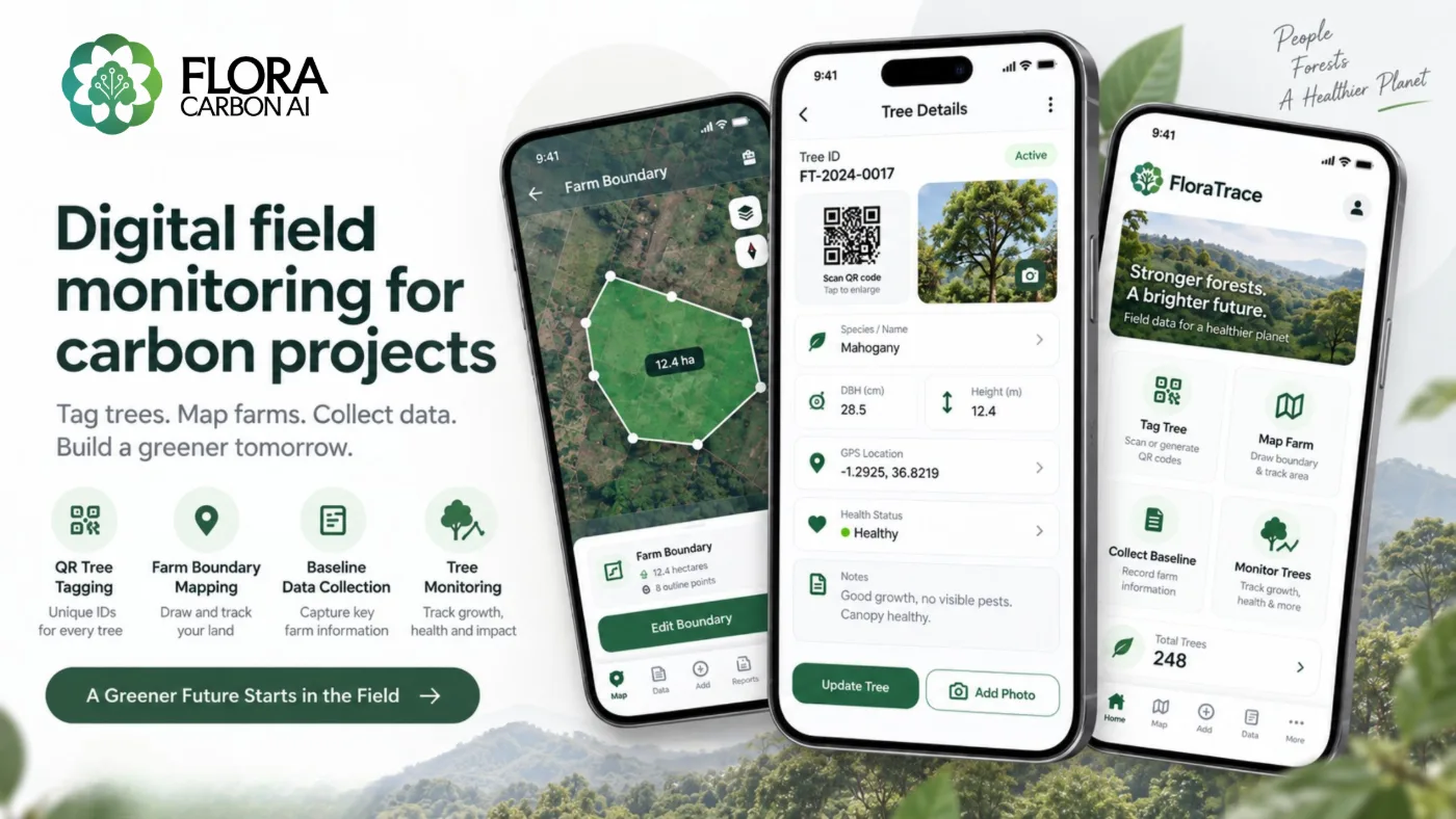
- Digital field tools can improve data collection.
- AI can assist with documentation and data analysis.
- Digital MRV can connect monitoring information across the project lifecycle.
The goal should be to build a connected workflow, rather than simply add technology to individual steps.
How do you get the foundation right?
A successful carbon project is built long before carbon credits are issued. The early stages (land assessment, methodology selection, baseline development, project design, carbon modelling and MRV planning) can determine how smoothly the project progresses later. At Flora Carbon AI, we work with carbon project developers across these stages, combining environmental science, carbon-market expertise and technology to support the development and monitoring of nature-based carbon projects.
The first tree may be planted in the field, but the project really starts much earlier, with good data, good science and good design. For the stage-by-stage view, read From Satellite Image to Carbon Credit, or talk to us about your site.