From the Sundarbans to Timor-Leste: Scaling Nature-Based Carbon Projects
Flora Carbon Team
May 2, 2026
Two Geographies, One Mission
Flora Carbon AI works across multiple geographies because the challenges of project implementation and monitoring change with context. Our mission is to support nature-based carbon projects that are credible and scalable, whether they are rooted in agroforestry systems, mangrove restoration, or smallholder landscapes. Geographic diversity helps us learn from different ecosystems and operational settings, which improves the resilience of our approach.
Agroforestry in India
In India, we are supporting an agroforestry carbon project with around 100 farmers. That project involves helping farmers integrate trees into their farmland in a way that supports carbon sequestration and livelihoods. The work includes field monitoring, data capture, and ensuring that the project is designed with clear carbon accounting and land-use understanding.
Mangrove Restoration in the Sundarbans
The Sundarbans initiative is centered on mangrove reforestation monitoring, where FloraScope has been used for land screening and land-use and land-cover mapping. Mangrove ecosystems are complex, and understanding how the landscape changes over time is critical for measuring impact. By supporting spatial analysis in the Sundarbans, we help the project team track restoration progress and connect it to carbon project eligibility.
Scaling in Timor-Leste
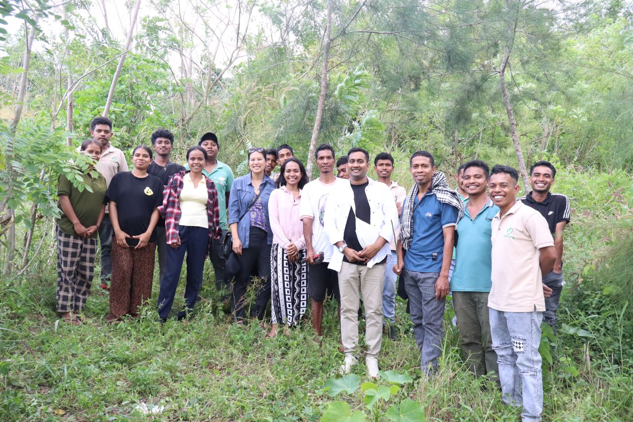
Internationally, we are supporting a smallholder agroforestry carbon project in Timor-Leste involving more than 2,000 farmers. Scaling to this size introduces new coordination and monitoring demands because each participating farmer and plot must be captured in the evidence system. The project demonstrates how carbon finance can reach rural communities when the implementation model is designed for large-scale transparency.
Related Questions
Where is Flora Carbon AI currently active?
Flora Carbon AI is active in India, including the Sundarbans and an agroforestry pilot with around 100 farmers, as well as Timor-Leste, where we support a smallholder agroforestry project with 2,000+ farmers. We are also contributing to restoration work in the Amazon region and expanding into East Africa.
Which types of projects do you support?
We support agroforestry, afforestation and reforestation, REDD+, improved forest management, and blue carbon projects. These are the project types where strong evidence, land monitoring, and transparent reporting are especially important.
What does FloraScope do?
FloraScope is a GIS and remote sensing platform used for land analysis, project screening, and spatial monitoring. It helps teams understand land conditions early and supports more informed decisions during project development.