Meet FloraTrace: Field Data Collection Built for Carbon Project Audits
Flora Carbon Team
February 10, 2026
The Field Data Problem
Collecting field data for carbon projects is a complex, detail-heavy task. Teams need to gather measurements across many plots, tag individual trees, and make sure each observation is recorded with the right location and context. When that data is collected manually or stored across multiple devices, it can be difficult to connect later to the project site and the audit evidence package.
How FloraTrace Works
FloraTrace uses QR-based tree tagging and GPS plot tracking to anchor field observations to specific locations. In the field, each tagged tree becomes part of a structured monitoring workflow, and every plot is linked to a defined geographic boundary. That means data is not only collected, but it is also easier to verify because it is tied to a traceable point in the landscape.
Why Tamper-Resistant Evidence Matters
Auditors and buyers need to know that the evidence they are seeing is real and reliable. Tamper-resistant records help answer that question because they reduce the risk that data has been altered or disconnected from the field site. In a carbon project, that matters not just for compliance, but also for the credibility of the project over time.
Impact on Audit Readiness
The ultimate benefit of FloraTrace is improved audit readiness. When field data is collected in a structured, traceable way, project teams can prepare more confidently for verification. That reduces the time spent responding to questions and helps keep the project timeline moving forward.
Related Questions
What does FloraTrace do?
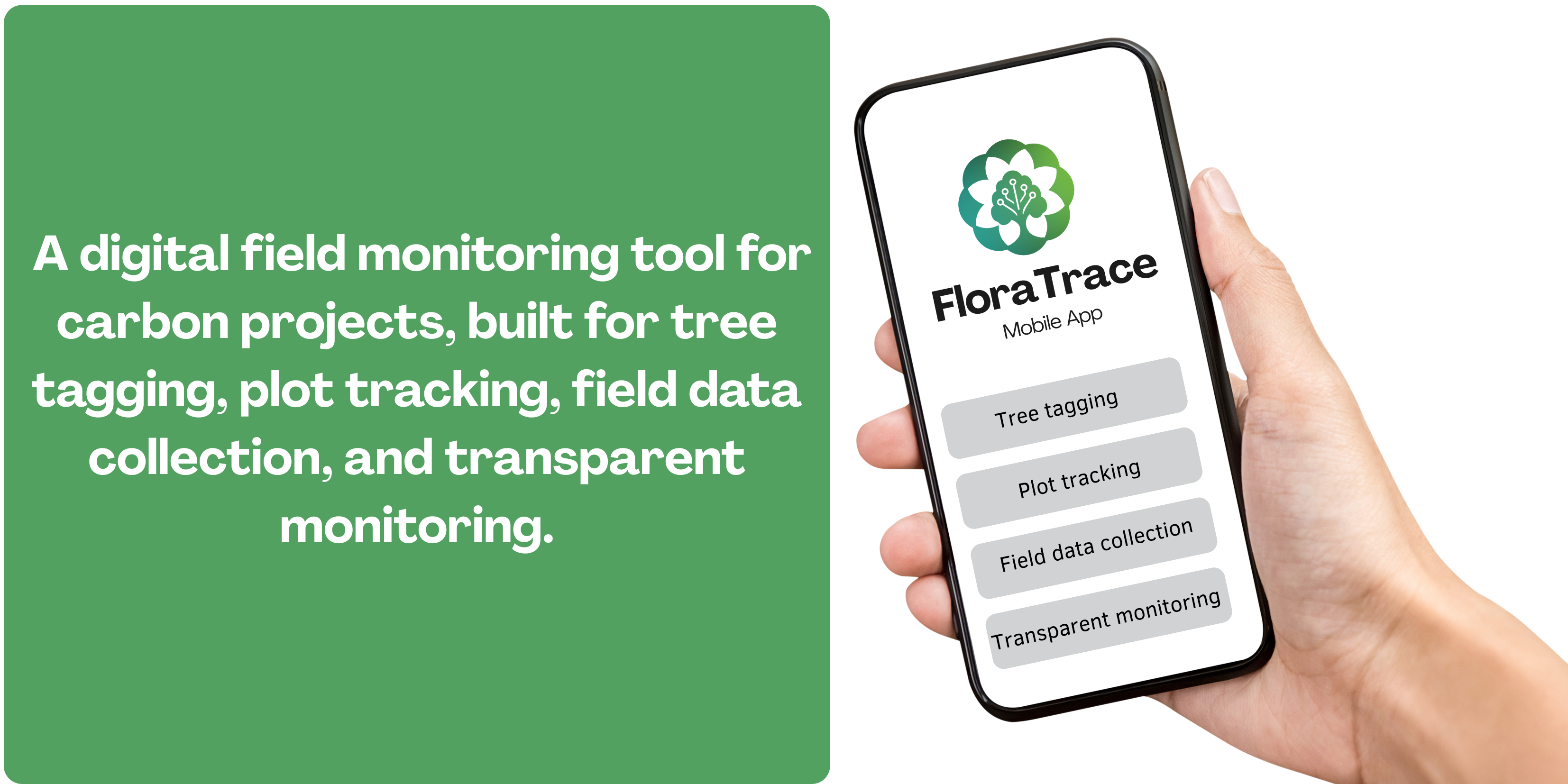
FloraTrace is a mobile app for QR-based tree tagging, GPS plot tracking, and field data collection. It is built to create a more transparent and audit-friendly evidence trail for carbon projects.
What does FloraScope do?
FloraScope is a GIS and remote sensing platform used for land analysis, project screening, and spatial monitoring. It helps teams understand land conditions early and supports more informed decisions during project development.
Is there a free way to try the tools?
Yes, FloraScope, FloraGPT, FloraTrace, and the FloraCarbon Calculator all offer a free-to-start experience. That gives teams a low-friction way to explore the tools before committing to a broader workflow.